No products in the cart.


Let us say you keep a close eye on what is happening in the infrastructure sector. Since 2021, you have probably heard the term Gati Shakti thrown around a lot in this context. What exactly are we talking about here? Simply put, what effect does it have? For what reasons is it considered a paradigm shift in the field of infrastructure?
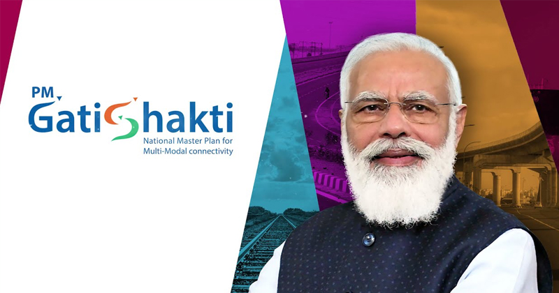
Prime minister Narendra Modi inaugurated Gati Shakti Mission in October 2021. The Gati Shakti National master plan is a digital mapping platform that brings together 24 infrastructure and economic Ministries, including Rail Road shipping, among others, for integrated planning and coordinated implementation of infrastructure connectivity projects through the Gati Shakti portal.
While announcing the Gati Shakti programme, Prime Minister Modi emphasised the large gap between macro planning and micro implementation, the challenges of lack of coordination and prior knowledge, and how siloed thinking and work were causing construction delays and budget waste.

On a geographic information system (GIS) map, all the key Ministries have mapped the specifics of all infrastructure and logistic facilities assets in the country, including data on the forest habitat and other assets passing through. Under the initiative, a digital platform for integrated planning and coordinated implementation of infrastructure connection projects have also been established, bringing together 16 ministries, including rail and road authorities.
The platform will offer satellite photos with a high resolution, infrastructure, utilities, administrative borders, land, and logistics. While the logistics section of the commerce ministry will lead the project, an empowered committee of secretaries led by the Cabinet secretary will oversee the implementation of this significant endeavour. It attempts to provide projects with more speed (Gati) and strength (Shakti) by uniting all relevant departments on a single platform. The Gati Shakti programme has been integral to the Modi administration’s second-term massive infrastructure drive.
By assuring coordination and bridging the gap between planning and implementation of projects at multiple levels, this programme is necessary to facilitate the holistic synchronisation of the operations of each department and the many tiers of government.
Railway Minister Ashwini Vaishnav informed Parliament in March 2022 that his ministry has not developed comprehensive project papers for a dedicated Freight Corridor along three new routes: the north-south corridor, the East-West sub-Corridor, and the East Coast Corridor. He stated that the projects would be decided depending on the DPS and funding possibilities. There is, however, a little-known tale behind this decision that demonstrates the rising Synergy between Ministries and departments based on the usage of technology for government. When the alignment was overlaid on the national master plan, the Rail ministry projected the precise alignment on the Gati Shakti National master plan. It was discovered that the original alignment traversed woods, mining sites, and industrial parks, which would have necessitated time-consuming and expensive land-clearing procedures. To circumvent this, the alignment was adjusted to assure minimum disturbance by avoiding critical infrastructure assets. It is a revised alignment established by the Railway Ministry that will be incorporated into the design of the DPRS. If authorised, the corridors would significantly reduce cost and time overruns. This is only one example of how the GIS-based Gati Shakti master plan assists infrastructure ministries in improved project planning.
The National master plan, administered by the Logistics Division of the Department for Promotion of Industry and Internal Trade-DPIIT, provides a birds-eye perspective of the nation’s infrastructure and logistical facilities on a GIS map with the click of a mouse. Ministries can see their planned initiatives, visit other assets along the same path, and examine any potential roadblocks throughout the planning stage. According to official statistics, nearly 600 layers of data from several infrastructure ministries have been mapped on the national master plan. In the national master plan, the Rail Ministry has mapped its whole rail line Network state of projects, including widening, electrification, gauge conversion, and the construction of cargo facilities. On the national master plan, the roads ministry has mapped the whole database of national highways, the Bharat Mala, Greenfield corridors, and the projected multimodal logistic Hub, in addition to the network of State highways District Road. Almost all Central infrastructure ministries have mapped their data layers, including forest, water source, and mining information essential for project planning and permissions. There was no centralised repository of information on infrastructure and logistical facilities in the country. Now, each ministry knows which ministry is planning which national initiative. Any Ministry may view the data of any other Infrastructure Ministry in any combination on a single platform.
Railways, roads, and telecom, among other intra-Ministries, are already using the national master plan platform for pre-feasibility analysis and DPR planning. The digital master plan of infrastructure assets enables Ministries to align better and, if necessary, revise projects before execution. It also facilitates coordinated planning, for example. Following a review of the national master plan of the under-construction 1300 km Delhi-Mumbai Expressway, the Telecom Ministry is installing a 1,300-kilometer office optical fibre cable network on the route without acquiring any new property and inside the right-of-way of the roadway. The cable is being placed, saving money and eliminating the need for re-digging. The petroleum ministry has also proposed linking the Mundra-Panipat crude oil pipeline project with the Amritsar- Jamnagar Expressway. The digital master plan assists DPIIT authorities with synchronised implementation.
Gati Shakti is headed by a group of secretaries led by the cabinet secretary and is known as the Network Planning Group. This Network Planning Group has seven infrastructure-planning-in-charge Ministries as members to aid the group. The body meets every two weeks to examine all project proposals from a coordinating standpoint. A Ministry may raise a concern with a project online through the network Planning Group and other discussions and investigate user Ministries’ concerns. During the deliberations, they advise the line ministry on how the matter might be resolved as a top priority. A project monitoring panel, an Institutional framework established in 2013 to speed the settlement of difficulties and regulatory bottlenecks in projects with investments over 500 crore rupees, has been incorporated into the national master plan. This fusion is advantageous. For instance, if there is a project on the national master plan and some difficulty impedes its progress, the relevant information will be reflected immediately on the Project Monitoring Group (PMG) portal, where its resolution will be addressed. Since its inception, the Gati Shakti National master plan has assisted in the identification of more than 190 significant infrastructure gaps in five crucial sectors: ports, steel, coal, fertiliser, food and public distribution. Since then, the line Ministries have been instructed to rectify these deficiencies. In addition to 24 Central infrastructure and economic Ministries, 12 social sector Ministries have joined the Gati Shakti initiative and map data on the national master plan. This DPIIT official will aid in the better design of social infrastructure.
After observing the evolution of the national master plan, the states find it beneficial for planning purposes and replicate the concept. On the national master plan, all states are mapping around 29 critical data layers about their infrastructure and logistical facilities. The data consist of, among other things, land records, forests, eco-sensitive wildlife zones, coastal control zones, Reserve forests, Water Resources reservoirs, dams, soil type seismic activity, flood maps, electricity transmission and distribution lines, mining area roads, and silver lines. Most states have also established institutional mechanisms modelled by Gati Shakti, such as the Empire group of State secretaries and network Planning Group, to supervise the activity. Mapping the data layers will assist the state in better planning its supplementary infrastructure. For example, suppose the PWD is intending to construct a new road. In that case, it will be able to determine from the state master plan if the planned road’s route would cross through a revenue land Reserve forest or eco-sensitive zones. Suppose the alignment occurs inside a Reserve Forest Area. In that case, it can be altered to reduce delays and ensure the successful implementation of the project. The centre assists states in interpreting their master plans and mapping data layers onto them. Earlier this month, the finance minister of the union awarded around 5000 crore rupees under the plan for support to states for capital investment year 2020-23 to states implementing infrastructure projects under the PM Gati Shakti Mission. So far, 28 states have submitted over 190 projects totalling 5,000 crores to the DPIIT for clearance. According to senior government officials, the actual changes in reducing delays and accelerating the completion of Big Ticket infrastructure projects will be seen on the ground in a couple of years. Now that synchronised implementation has commenced, the delays in project execution caused by siloed departments are becoming a thing of the past.
(Author is a Writer & Academic Administrator at IIT Jammu)
[email protected]